
Clarksville topographic map
Interactive map
Click on the map to display elevation.
About this map
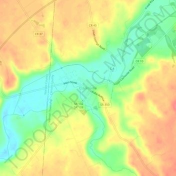
Name: Clarksville topographic map, elevation, terrain.
Location: Clarksville, Clinton County, Ohio, 45113, United States (39.38145 -84.00132 39.42145 -83.96132)
Average elevation: 883 ft
Minimum elevation: 771 ft
Maximum elevation: 974 ft
Clinton County trails, hiking, mountain biking, running and outdoor activities