
Jameson Island topographic map
Interactive map
Click on the map to display elevation.
About this map
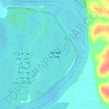
Name: Jameson Island topographic map, elevation, terrain.
Location: Jameson Island, Saline County, Missouri, United States (39.07268 -92.92366 39.09664 -92.90887)
Average elevation: 617 ft
Minimum elevation: 584 ft
Maximum elevation: 787 ft
Saline County trails, hiking, mountain biking, running and outdoor activities