
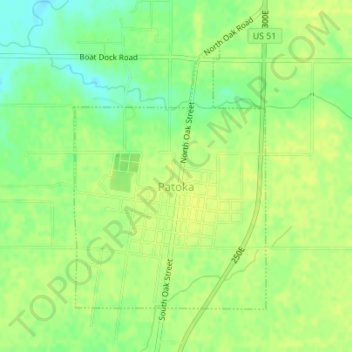
Patoka topographic map
Interactive map
Click on the map to display elevation.
About this map
Name: Patoka topographic map, elevation, terrain.
Location: Patoka, Marion County, Illinois, United States (38.74592 -89.10558 38.76639 -89.08647)
Average elevation: 502 ft
Minimum elevation: 463 ft
Maximum elevation: 518 ft
Marion County trails, hiking, mountain biking, running and outdoor activities