
Hideaway topographic map
Interactive map
Click on the map to display elevation.
About this map
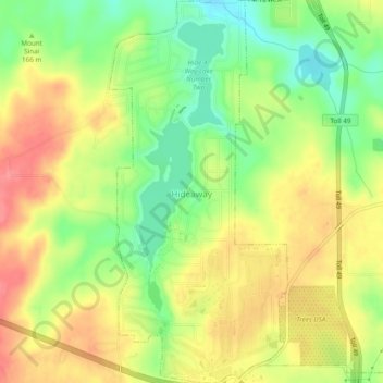
Name: Hideaway topographic map, elevation, terrain.
Location: Hideaway, Smith County, Texas, United States (32.47045 -95.46783 32.51084 -95.44545)
Average elevation: 512 ft
Minimum elevation: 381 ft
Maximum elevation: 633 ft