
Brantford topographic map
Interactive map
Click on the map to display elevation.
About this map
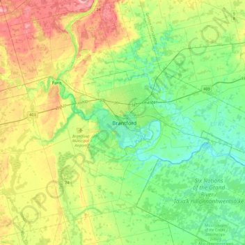
Name: Brantford topographic map, elevation, terrain.
Location: Brantford, Ontario, N3T 2J1, Canada (42.98108 -80.42611 43.30108 -80.10611)
Average elevation: 781 ft
Minimum elevation: 617 ft
Maximum elevation: 1,109 ft