
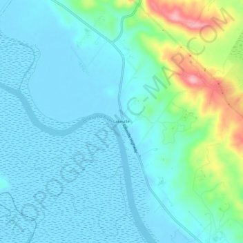
Lakeville topographic map
Interactive map
Click on the map to display elevation.
About this map
Name: Lakeville topographic map, elevation, terrain.
Location: Lakeville, Sonoma County, California, United States (38.17908 -122.56720 38.21908 -122.52720)
Average elevation: 92 ft
Minimum elevation: -13 ft
Maximum elevation: 479 ft
Sonoma County trails, hiking, mountain biking, running and outdoor activities