
Anacortes topographic map
Interactive map
Click on the map to display elevation.
About this map
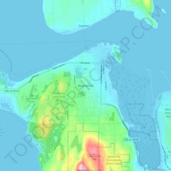
Name: Anacortes topographic map, elevation, terrain.
Location: Anacortes, Skagit County, Washington, 98221, United States (48.46201 -122.66374 48.54201 -122.58374)
Average elevation: 121 ft
Minimum elevation: -7 ft
Maximum elevation: 1,033 ft
Skagit County trails, hiking, mountain biking, running and outdoor activities