
Hanover topographic map
Interactive map
Click on the map to display elevation.
About this map
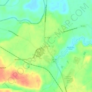
Name: Hanover topographic map, elevation, terrain.
Location: Hanover, Hanover County, Virginia, 23069, United States (37.74653 -77.39026 37.78653 -77.35026)
Average elevation: 92 ft
Minimum elevation: 13 ft
Maximum elevation: 203 ft