
Freedom topographic map
Interactive map
Click on the map to display elevation.
About this map
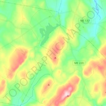
Name: Freedom topographic map, elevation, terrain.
Location: Freedom, Waldo County, Maine, 04941, United States (44.44939 -69.39601 44.54459 -69.28921)
Average elevation: 591 ft
Minimum elevation: 292 ft
Maximum elevation: 1,109 ft
Waldo County trails, hiking, mountain biking, running and outdoor activities
Other topographic maps
Click on a map to view its topography, its elevation and its terrain.