Geolocate

Green Bay topographic map

Interactive map

Click on the map to display elevation.

About this map

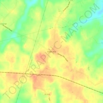
Name: Green Bay topographic map, elevation, terrain.

Location: Green Bay, Hanover County, Virginia, 23024, United States (37.94514 -77.71471 37.98514 -77.67471)

Average elevation: 295 ft

Minimum elevation: 210 ft

Maximum elevation: 348 ft

Other topographic maps

Click on a map to view its topography, its elevation and its terrain.

Ashland

United States > Virginia > Hanover County

Ashland, Hanover County, Virginia, 23005, United States

Average elevation: 217 ft

Mechanicsville

United States > Virginia > Hanover County > Mechanicsville

Mechanicsville, Hanover County, Virginia, United States

Average elevation: 161 ft

Blue Star Estates

United States > Virginia > Hanover County > Blue Star Estates

Blue Star Estates, Hanover County, Virginia, 23116, United States

Average elevation: 180 ft

Hanover

United States > Virginia > Hanover County > Hanover

Hanover, Hanover County, Virginia, 23069, United States

Average elevation: 92 ft