
Loma Alta Park topographic map
Interactive map
Click on the map to display elevation.
About this map
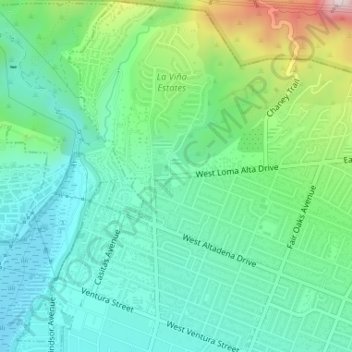
Name: Loma Alta Park topographic map, elevation, terrain.
Average elevation: 1,398 ft
Minimum elevation: 1,033 ft
Maximum elevation: 2,385 ft
Los Angeles County trails, hiking, mountain biking, running and outdoor activities
Other topographic maps
Click on a map to view its topography, its elevation and its terrain.
The Cobb Estate
United States > California > Los Angeles County > Altadena
Average elevation: 2,116 ft