
Terrebonne topographic map
Interactive map
Click on the map to display elevation.
About this map
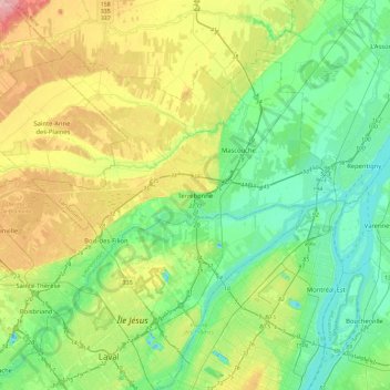
Name: Terrebonne topographic map, elevation, terrain.
Location: Terrebonne, Les Moulins, Lanaudière, Quebec, J6W 1T8, Canada (45.66810 -73.69152 45.74810 -73.61152)
Average elevation: 112 ft
Minimum elevation: -62 ft
Maximum elevation: 220 ft