
Roswell topographic map
Interactive map
Click on the map to display elevation.
About this map
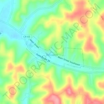
Name: Roswell topographic map, elevation, terrain.
Location: Roswell, Tuscarawas County, Ohio, United States (40.47252 -81.35852 40.48075 -81.33866)
Average elevation: 1,060 ft
Minimum elevation: 909 ft
Maximum elevation: 1,270 ft
Tuscarawas County trails, hiking, mountain biking, running and outdoor activities