
Lodi topographic map
Interactive map
Click on the map to display elevation.
About this map
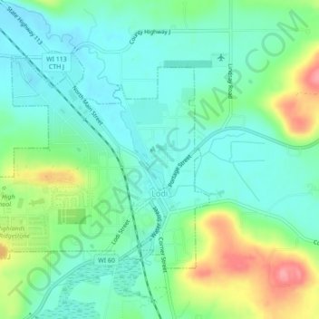
Name: Lodi topographic map, elevation, terrain.
Location: Lodi, Columbia County, Wisconsin, United States (43.30643 -89.56318 43.32798 -89.51969)
Average elevation: 883 ft
Minimum elevation: 787 ft
Maximum elevation: 1,106 ft
Columbia County trails, hiking, mountain biking, running and outdoor activities
Other topographic maps
Click on a map to view its topography, its elevation and its terrain.