
Potosi topographic map
Interactive map
Click on the map to display elevation.
About this map
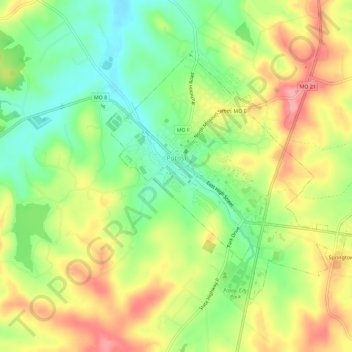
Name: Potosi topographic map, elevation, terrain.
Location: Potosi, Washington County, Missouri, 63664, United States (37.91817 -90.79862 37.94996 -90.74116)
Average elevation: 991 ft
Minimum elevation: 830 ft
Maximum elevation: 1,168 ft
Washington County trails, hiking, mountain biking, running and outdoor activities