
Heyworth topographic map
Interactive map
Click on the map to display elevation.
About this map
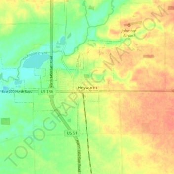
Name: Heyworth topographic map, elevation, terrain.
Location: Heyworth, McLean County, Illinois, United States (40.29778 -89.03538 40.32928 -88.95886)
Average elevation: 745 ft
Minimum elevation: 673 ft
Maximum elevation: 807 ft
McLean County trails, hiking, mountain biking, running and outdoor activities
Other topographic maps
Click on a map to view its topography, its elevation and its terrain.