
Broadway topographic map
Interactive map
Click on the map to display elevation.
About this map
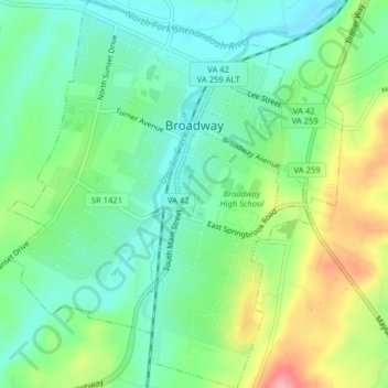
Name: Broadway topographic map, elevation, terrain.
Location: Broadway, Rockingham County, Virginia, 22815, United States (38.59208 -78.81851 38.62333 -78.78399)
Average elevation: 1,122 ft
Minimum elevation: 1,001 ft
Maximum elevation: 1,352 ft
Rockingham County trails, hiking, mountain biking, running and outdoor activities
Other topographic maps
Click on a map to view its topography, its elevation and its terrain.