
Mills topographic map
Interactive map
Click on the map to display elevation.
About this map
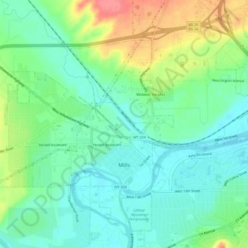
Name: Mills topographic map, elevation, terrain.
Location: Mills, Natrona County, Wyoming, United States (42.83440 -106.41477 42.86350 -106.35634)
Average elevation: 5,187 ft
Minimum elevation: 5,098 ft
Maximum elevation: 5,374 ft