
Pawleys Island topographic map
Interactive map
Click on the map to display elevation.
About this map
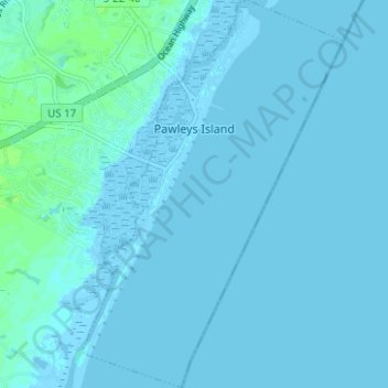
Name: Pawleys Island topographic map, elevation, terrain.
Average elevation: 3 ft
Minimum elevation: -13 ft
Maximum elevation: 23 ft
Georgetown County trails, hiking, mountain biking, running and outdoor activities
Other topographic maps
Click on a map to view its topography, its elevation and its terrain.
Wachesaw Landing
United States > South Carolina > Georgetown County > Murrells Inlet
Average elevation: 13 ft
Litchfield by the Sea
United States > South Carolina > Georgetown County > North Litchfield Beach
Average elevation: 7 ft