
Northfield topographic map
Interactive map
Click on the map to display elevation.
About this map
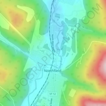
Name: Northfield topographic map, elevation, terrain.
Location: Northfield, Washington County, Vermont, 05663, United States (44.13985 -72.66956 44.16638 -72.64118)
Average elevation: 978 ft
Minimum elevation: 663 ft
Maximum elevation: 1,647 ft
Washington County trails, hiking, mountain biking, running and outdoor activities