
Newton topographic map
Interactive map
Click on the map to display elevation.
About this map
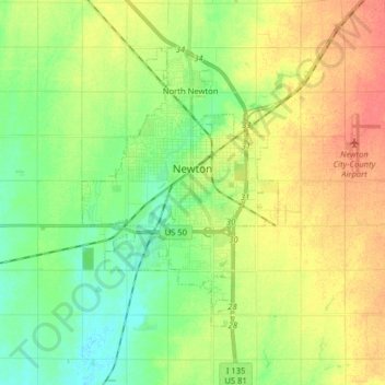
Name: Newton topographic map, elevation, terrain.
Location: Newton, Harvey County, Kansas, 67114, United States (37.99195 -97.46842 38.08626 -97.30924)
Average elevation: 1,463 ft
Minimum elevation: 1,394 ft
Maximum elevation: 1,545 ft
Harvey County trails, hiking, mountain biking, running and outdoor activities