
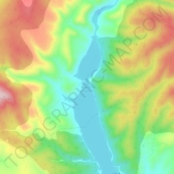
Río Sorbe topographic map
Interactive map
Click on the map to display elevation.
About this map
Name: Río Sorbe topographic map, elevation, terrain.
Average elevation: 3,153 ft
Minimum elevation: 2,713 ft
Maximum elevation: 3,743 ft
Other topographic maps
Click on a map to view its topography, its elevation and its terrain.
Almiruete
España > Castilla-La Mancha > Tamajón > Tamajón
Almiruete, Tamajón, Guadalajara, Castilla-La Mancha, España
Average elevation: 4,137 ft