
Mandan topographic map
Interactive map
Click on the map to display elevation.
About this map
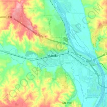
Name: Mandan topographic map, elevation, terrain.
Location: Mandan, Morton County, North Dakota, 58554, United States (46.78317 -100.97192 46.87370 -100.82151)
Average elevation: 1,749 ft
Minimum elevation: 1,617 ft
Maximum elevation: 2,021 ft
Morton County trails, hiking, mountain biking, running and outdoor activities