
Gokak Falls topographic map
Interactive map
Click on the map to display elevation.
About this map
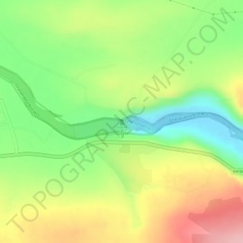
Name: Gokak Falls topographic map, elevation, terrain.
Average elevation: 2,067 ft
Minimum elevation: 1,778 ft
Maximum elevation: 2,372 ft
Other topographic maps
Click on a map to view its topography, its elevation and its terrain.
Konnur
India > Karnataka > Gokak taluku > Konnur
Konnur, Gokak taluku, Belgaum district, Karnataka, India
Average elevation: 2,041 ft