
Akouda topographic map
Interactive map
Click on the map to display elevation.
About this map
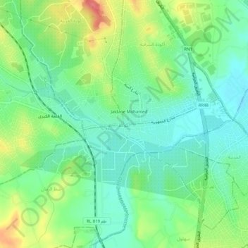
Name: Akouda topographic map, elevation, terrain.
Location: Akouda, أكودة الشرقية, معتمدية أكودة, Sousse, 4022, Tunisia (35.84573 10.54784 35.88573 10.58784)
Average elevation: 89 ft
Minimum elevation: 7 ft
Maximum elevation: 240 ft