Geolocate

Independence topographic map

Interactive map

Click on the map to display elevation.

About this map

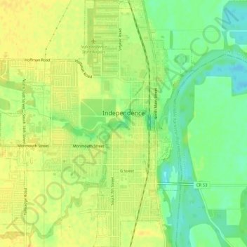
Name: Independence topographic map, elevation, terrain.

Location: Independence, Polk County, Oregon, 97351, United States (44.83640 -123.21662 44.87244 -123.17643)

Average elevation: 164 ft

Minimum elevation: 115 ft

Maximum elevation: 190 ft

Other topographic maps

Click on a map to view its topography, its elevation and its terrain.

Willamette River

United States > Oregon > Polk County

Willamette River, Polk County, Oregon, United States

Average elevation: 236 ft

Monmouth

United States > Oregon > Polk County

Monmouth, Polk County, Oregon, United States

Average elevation: 190 ft

Dallas

United States > Oregon > Polk County

Dallas, Polk County, Oregon, 97338, United States

Average elevation: 390 ft

Buena Vista

United States > Oregon > Polk County

Buena Vista, Polk County, Oregon, United States

Average elevation: 220 ft

Aaron Mercer Reservoir

United States > Oregon > Polk County

Aaron Mercer Reservoir, Polk County, Oregon, United States

Average elevation: 1,204 ft

Grand Ronde

United States > Oregon > Polk County > Grand Ronde

Grand Ronde, Polk County, Oregon, United States

Average elevation: 433 ft