
Felda topographic map
Interactive map
Click on the map to display elevation.
About this map
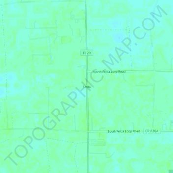
Name: Felda topographic map, elevation, terrain.
Location: Felda, Hendry County, Florida, 33930, United States (26.51980 -81.45563 26.55980 -81.41563)
Average elevation: 39 ft
Minimum elevation: 26 ft
Maximum elevation: 46 ft
Hendry County trails, hiking, mountain biking, running and outdoor activities
Other topographic maps
Click on a map to view its topography, its elevation and its terrain.