
Kohler topographic map
Interactive map
Click on the map to display elevation.
About this map
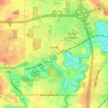
Name: Kohler topographic map, elevation, terrain.
Location: Kohler, Sheboygan County, Wisconsin, 53044, United States (43.71187 -87.80448 43.76036 -87.74943)
Average elevation: 673 ft
Minimum elevation: 584 ft
Maximum elevation: 748 ft
Sheboygan County trails, hiking, mountain biking, running and outdoor activities