
Middleton topographic map
Interactive map
Click on the map to display elevation.
About this map
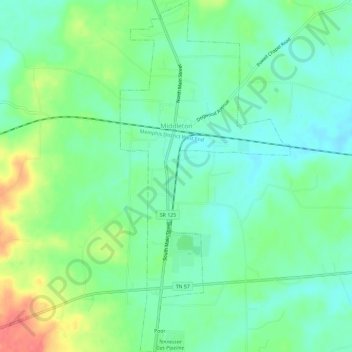
Name: Middleton topographic map, elevation, terrain.
Location: Middleton, Hardeman County, Tennessee, United States (35.03358 -88.90032 35.08166 -88.87186)
Average elevation: 436 ft
Minimum elevation: 371 ft
Maximum elevation: 571 ft
Tennessee trails, hiking, mountain biking, running and outdoor activities