
Rayland topographic map
Interactive map
Click on the map to display elevation.
About this map
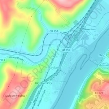
Name: Rayland topographic map, elevation, terrain.
Location: Rayland, Jefferson County, Ohio, United States (40.17905 -80.70211 40.19240 -80.67937)
Average elevation: 791 ft
Minimum elevation: 623 ft
Maximum elevation: 1,188 ft
Ohio trails, hiking, mountain biking, running and outdoor activities