
Gainesville topographic map
Interactive map
Click on the map to display elevation.
About this map
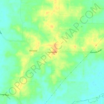
Name: Gainesville topographic map, elevation, terrain.
Location: Gainesville, Tipton County, Tennessee, 38049, United States (35.39342 -89.62924 35.43342 -89.58924)
Average elevation: 325 ft
Minimum elevation: 276 ft
Maximum elevation: 390 ft
Tennessee trails, hiking, mountain biking, running and outdoor activities