
Gorman topographic map
Interactive map
Click on the map to display elevation.
About this map
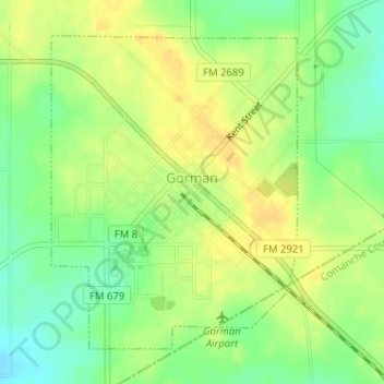
Name: Gorman topographic map, elevation, terrain.
Location: Gorman, Eastland County, Texas, 76454, United States (32.20169 -98.68233 32.22373 -98.66182)
Average elevation: 1,444 ft
Minimum elevation: 1,391 ft
Maximum elevation: 1,480 ft
Eastland County trails, hiking, mountain biking, running and outdoor activities
Other topographic maps
Click on a map to view its topography, its elevation and its terrain.