
Eldon topographic map
Interactive map
Click on the map to display elevation.
About this map
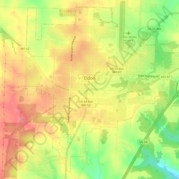
Name: Eldon topographic map, elevation, terrain.
Location: Eldon, Miller County, Missouri, United States (38.32787 -92.60355 38.36568 -92.55129)
Average elevation: 919 ft
Minimum elevation: 758 ft
Maximum elevation: 1,030 ft
Miller County trails, hiking, mountain biking, running and outdoor activities
Other topographic maps
Click on a map to view its topography, its elevation and its terrain.