
Crest Hill topographic map
Interactive map
Click on the map to display elevation.
About this map
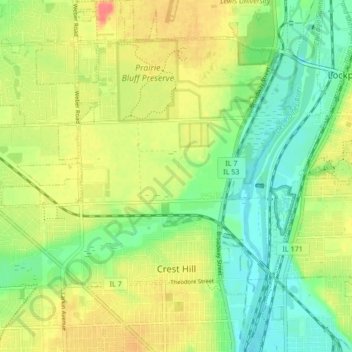
Name: Crest Hill topographic map, elevation, terrain.
Location: Crest Hill, Will County, Illinois, 60403, United States (41.53985 -88.14840 41.60285 -88.07653)
Average elevation: 620 ft
Minimum elevation: 538 ft
Maximum elevation: 719 ft
Will County trails, hiking, mountain biking, running and outdoor activities
Other topographic maps
Click on a map to view its topography, its elevation and its terrain.