
Crystal Lake topographic map
Interactive map
Click on the map to display elevation.
About this map
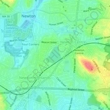
Name: Crystal Lake topographic map, elevation, terrain.
Average elevation: 154 ft
Minimum elevation: 95 ft
Maximum elevation: 299 ft
Other topographic maps
Click on a map to view its topography, its elevation and its terrain.
Newton
United States > Massachusetts > Middlesex County > Newton
Newton, Middlesex County, Massachusetts, 02461, United States
Average elevation: 141 ft
Hammond Pond
United States > Massachusetts > Middlesex County > Newton
Hammond Pond, Chestnut Hill, Newton, Middlesex County, Massachusetts, United States
Average elevation: 190 ft