
Antares topographic map
Interactive map
Click on the map to display elevation.
About this map
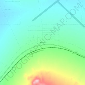
Name: Antares topographic map, elevation, terrain.
Location: Antares, Mohave County, Arizona, United States (35.39972 -113.82856 35.43972 -113.78856)
Average elevation: 3,556 ft
Minimum elevation: 3,287 ft
Maximum elevation: 4,331 ft
Mohave County trails, hiking, mountain biking, running and outdoor activities