
Powhatan topographic map
Interactive map
Click on the map to display elevation.
About this map
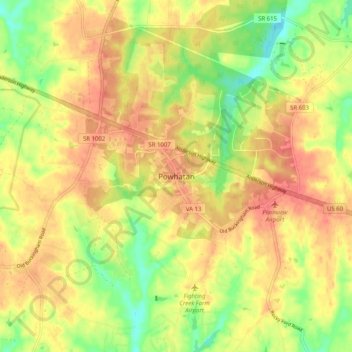
Name: Powhatan topographic map, elevation, terrain.
Location: Powhatan, Powhatan County, Virginia, 23139, United States (37.50202 -77.95906 37.58202 -77.87906)
Average elevation: 335 ft
Minimum elevation: 226 ft
Maximum elevation: 410 ft
Powhatan County trails, hiking, mountain biking, running and outdoor activities