
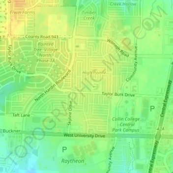
Dr. Charels B. McKissick Park topographic map
Interactive map
Click on the map to display elevation.
About this map
Name: Dr. Charels B. McKissick Park topographic map, elevation, terrain.
Average elevation: 673 ft
Minimum elevation: 617 ft
Maximum elevation: 719 ft
Collin County trails, hiking, mountain biking, running and outdoor activities
Other topographic maps
Click on a map to view its topography, its elevation and its terrain.