
Son Duong District topographic map
Interactive map
Click on the map to display elevation.
About this map
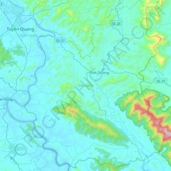
Name: Son Duong District topographic map, elevation, terrain.
Location: Son Duong District, Tuyen Quang Province, Vietnam (21.49759 105.22622 21.84618 105.54252)
Average elevation: 499 ft
Minimum elevation: 36 ft
Maximum elevation: 5,108 ft
Other topographic maps
Click on a map to view its topography, its elevation and its terrain.