
Portage topographic map
Interactive map
Click on the map to display elevation.
About this map
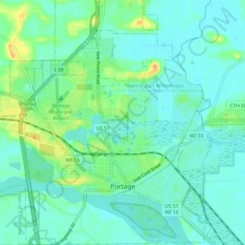
Name: Portage topographic map, elevation, terrain.
Location: Portage, Columbia County, Wisconsin, 53901, United States (43.52530 -89.50737 43.58430 -89.43087)
Average elevation: 801 ft
Minimum elevation: 771 ft
Maximum elevation: 889 ft
Columbia County trails, hiking, mountain biking, running and outdoor activities
Other topographic maps
Click on a map to view its topography, its elevation and its terrain.