
Marys Home topographic map
Interactive map
Click on the map to display elevation.
About this map
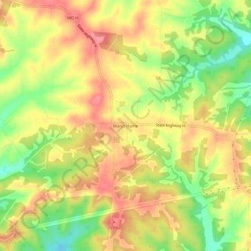
Name: Marys Home topographic map, elevation, terrain.
Location: Marys Home, Miller County, Missouri, United States (38.28559 -92.37518 38.32559 -92.33518)
Average elevation: 748 ft
Minimum elevation: 597 ft
Maximum elevation: 860 ft
Missouri trails, hiking, mountain biking, running and outdoor activities