
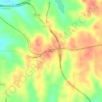
Yarboro topographic map
Interactive map
Click on the map to display elevation.
About this map
Name: Yarboro topographic map, elevation, terrain.
Location: Yarboro, Grimes County, Texas, United States (30.31687 -95.97551 30.35687 -95.93551)
Average elevation: 364 ft
Minimum elevation: 262 ft
Maximum elevation: 436 ft
Texas trails, hiking, mountain biking, running and outdoor activities