
Duke topographic map
Interactive map
Click on the map to display elevation.
About this map
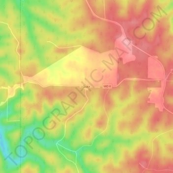
Name: Duke topographic map, elevation, terrain.
Location: Duke, Phelps County, Missouri, 65461, United States (37.64032 -92.03072 37.68032 -91.99072)
Average elevation: 1,086 ft
Minimum elevation: 853 ft
Maximum elevation: 1,220 ft
Missouri trails, hiking, mountain biking, running and outdoor activities