Geolocate

Gordonville topographic map

Click on the map to display elevation.

About this map

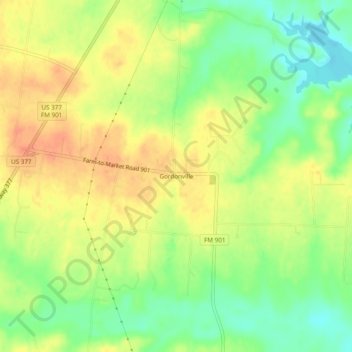
Name: Gordonville topographic map, elevation, terrain.

Location: Gordonville, Grayson County, Texas, United States (33.77566 -96.87306 33.81566 -96.83306)

Average elevation: 692 ft

Minimum elevation: 610 ft

Maximum elevation: 758 ft

Texas trails, hiking, mountain biking, running and outdoor activities

Gear up for your next adventure:

🪶Camping Sleeping Pad - Comfortable sleeping pad for backpacking
🪵Folding Camp Saw - Compact saw for wood and campsite work
🕶️Glacier Sunglasses - Side shields to protect eyes from high-altitude snow glare
🗺️Topographic Maps - Detailed topo maps for hiking, exploring and outdoor navigation
🪶Compact Camp Shovel - Folding shovel for campsite tasks

As an Amazon Associate, this site earns from qualifying purchases at no extra cost to you.