
Pine Cove topographic map
Interactive map
Click on the map to display elevation.
About this map
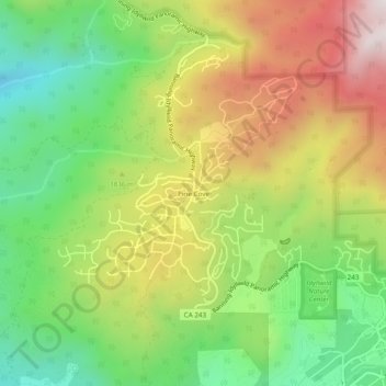
Name: Pine Cove topographic map, elevation, terrain.
Average elevation: 5,876 ft
Minimum elevation: 4,669 ft
Maximum elevation: 7,421 ft
Riverside County trails, hiking, mountain biking, running and outdoor activities