
Standish topographic map
Interactive map
Click on the map to display elevation.
About this map
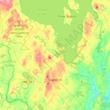
Name: Standish topographic map, elevation, terrain.
Location: Standish, Cumberland County, Maine, 04084, United States (43.68711 -70.66823 43.86404 -70.44652)
Average elevation: 289 ft
Minimum elevation: 85 ft
Maximum elevation: 617 ft
Cumberland County trails, hiking, mountain biking, running and outdoor activities
Other topographic maps
Click on a map to view its topography, its elevation and its terrain.
Littlejohn Island
United States > Maine > Cumberland County > Yarmouth > Cousins Island
Average elevation: 16 ft