
Carney topographic map
Interactive map
Click on the map to display elevation.
About this map
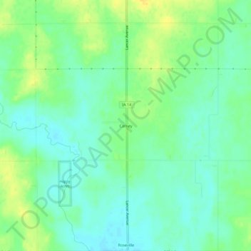
Name: Carney topographic map, elevation, terrain.
Location: Carney, Floyd County, Iowa, United States (43.00914 -92.83047 43.04914 -92.79047)
Average elevation: 1,053 ft
Minimum elevation: 1,020 ft
Maximum elevation: 1,099 ft
Iowa trails, hiking, mountain biking, running and outdoor activities