
Phú Quốc topographic map
Interactive map
Click on the map to display elevation.
About this map
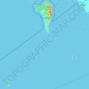
Name: Phú Quốc topographic map, elevation, terrain.
Location: Phú Quốc, Kiên Giang Province, Vietnam (9.25430 103.45043 10.45260 104.09849)
Average elevation: 10 ft
Minimum elevation: -3 ft
Maximum elevation: 1,745 ft
Other topographic maps
Click on a map to view its topography, its elevation and its terrain.