
Vincent topographic map
Interactive map
Click on the map to display elevation.
About this map
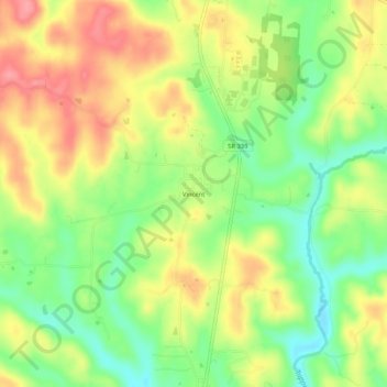
Name: Vincent topographic map, elevation, terrain.
Location: Vincent, Washington County, Ohio, 45784, United States (39.35535 -81.68957 39.39535 -81.64957)
Average elevation: 771 ft
Minimum elevation: 627 ft
Maximum elevation: 915 ft
Ohio trails, hiking, mountain biking, running and outdoor activities