
Mills River topographic map
Interactive map
Click on the map to display elevation.
About this map
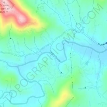
Name: Mills River topographic map, elevation, terrain.
Location: Mills River, Henderson County, North Carolina, United States (35.39246 -82.60987 35.39908 -82.58638)
Average elevation: 2,251 ft
Minimum elevation: 2,087 ft
Maximum elevation: 2,877 ft
Henderson County trails, hiking, mountain biking, running and outdoor activities